Töfsingdalen

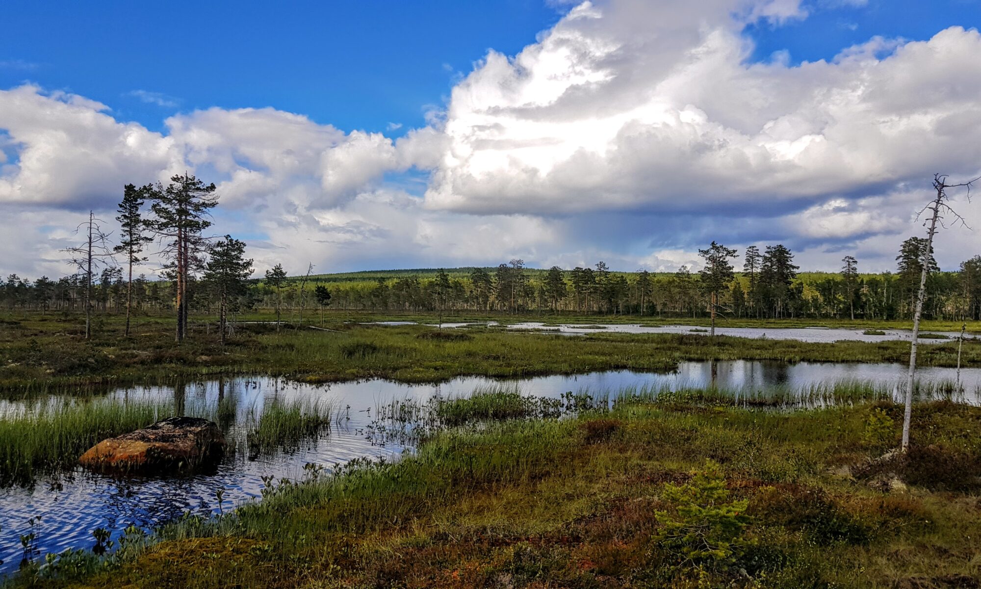
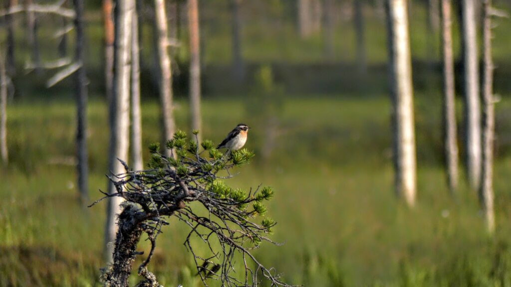
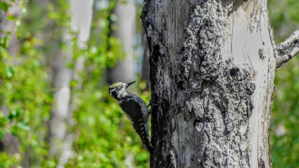
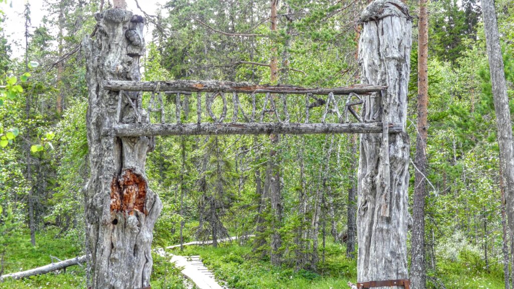
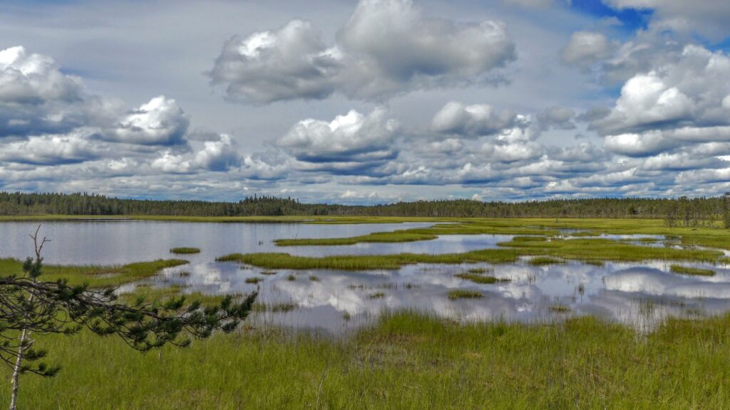
Approximately where Dalarna meets Härjedalen and the Swedish mountain range starts you find Töfsingdalen National Park. A national park that few have heard of and even fewer have visited. The national park is desolate and it is difficult to get here. No roads go here and the hiking trails in the area take you to the national park border but no further than that, because in Töfsingdalen there are no hiking trails. If you enter the national park, you leave civilization behind and encounter a raw and unforgiving wilderness.

Watch the video for more info about Töfsingdalen

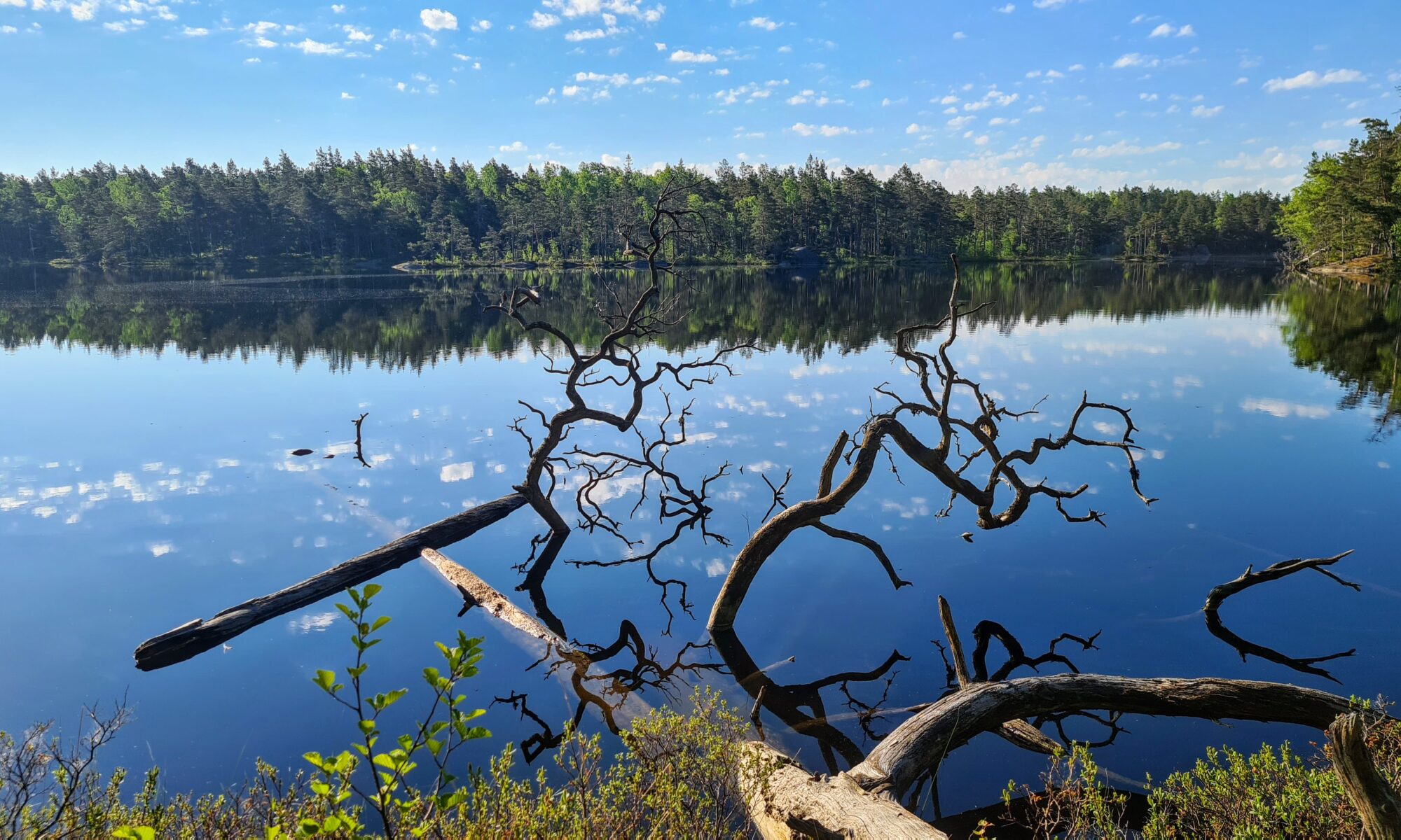
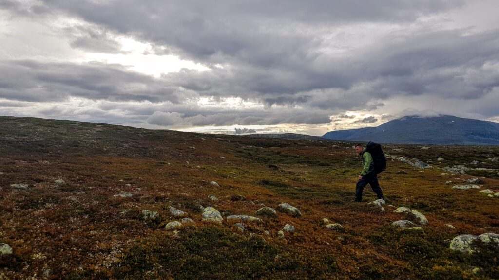
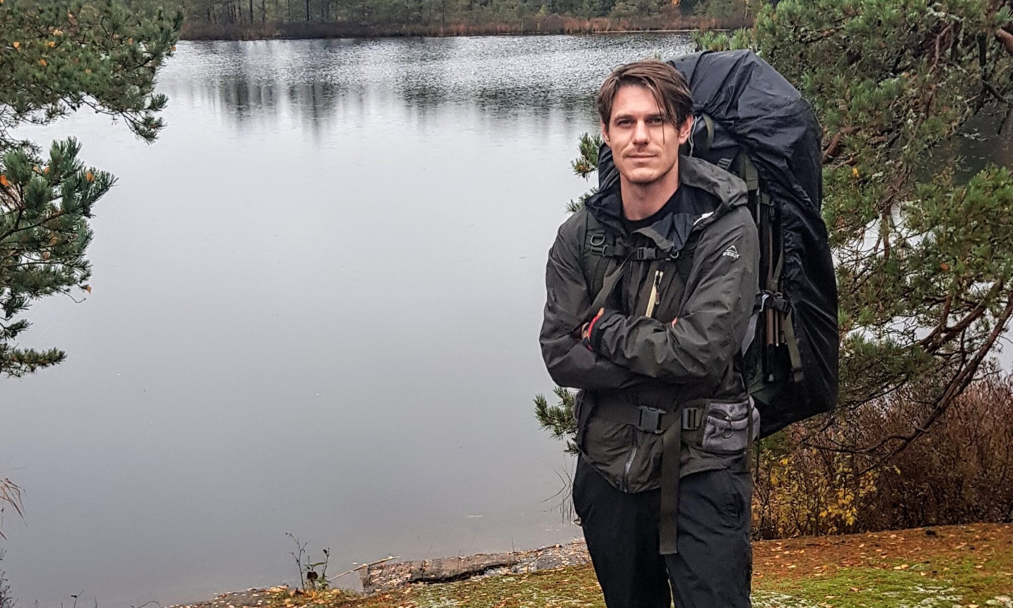
The idea of making a film about Töfsingdalen was born the year before the film was shot. We then hiked through the national park during a 3 day hike starting in Grövelsjön. Töfsingdalen was then only a small part of the hike as a whole and despite the fact that we were prepared for the terrain to be difficult to access, the reality was worse than we had expected. When the rugged block terrain strikes, the hiking speed sometimes goes down to almost non-existent. Each step requires full concentration so as not to fall or slip. It was raining but not enough to keep away the mosquitoes that were in abundance. Crossing the park turned out to be more strenuous than we had imagined. Once we got through Töfsingdalen we were relieved that it was over and had no interest in returning.

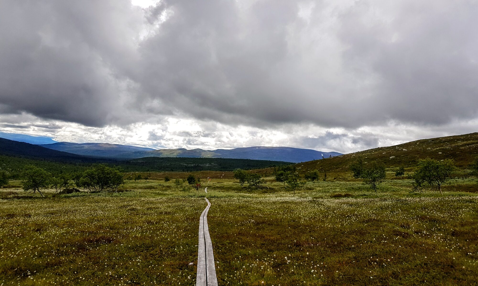
Hike from Grövelsjön that pass through Töfsingdalen

Once we had come home and the months passed, the memories from Töfsingdalen were marinated in our heads. What kind of national park was Töfsingdalen that left lasting, but mostly negative, memories. Now the thoughts began to grow that Töfsingdalen was worth a second chance and that Töfsingdalen probably has more to offer than difficult terrain and mosquitoes. Plans for a return trip to Töfsingdalen were started.

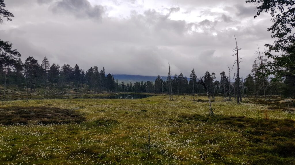
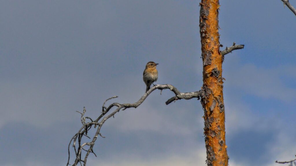
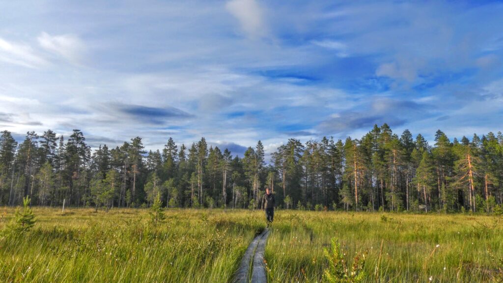
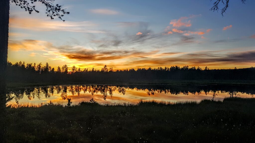
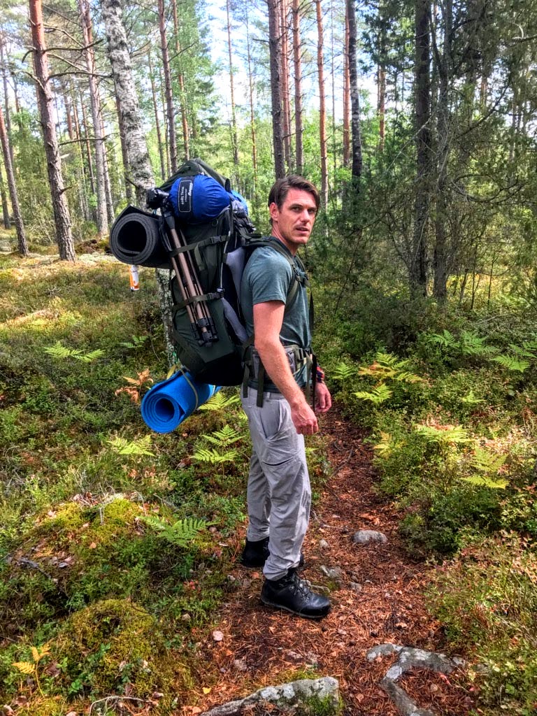
About a year later, this time in September, we went to Töfsingdalen again. This time the plan was to just indulge in and experience the national park. Again this time we started from Grövelsjön and started the approximately 13 km long hike to the national park. The first mishap happened when we started approaching the park and leaving the bare mountain behind us. Mosquitoes began to appear. This was not something we had expected in September and we had left mosquito repellent at home. With lowered morale we continued the hike and luckily it would turn out that mosquitoes would not be a problem. There were a few mosquitoes that welcomed us but after that there was hardly a mosquito in sight.

Töfsingdalen

The initial plan was to camp in the national park. There seems to be a perception that it is not allowed to camp within the national park boundary, but this is not true. There are quite large protected areas that you are not allowed to camp in, but as long as you do not pitch the tent there, it is ok according to the regulations. Complete regulations for Töfsingdalen National Park can be read on the County Administrative Board in Dalarna’s website (Länsstyreslsen i Dalarna).

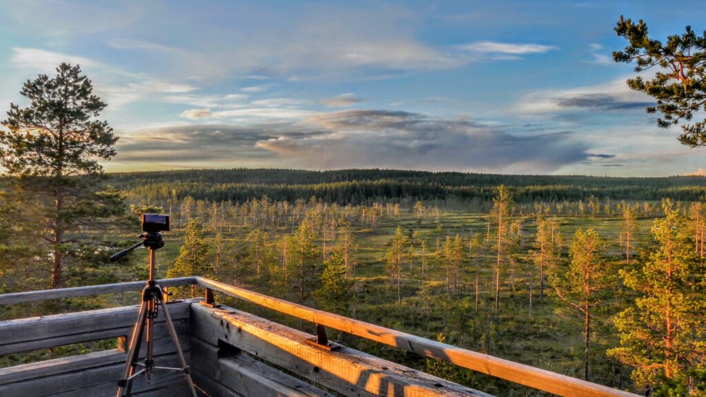
In the end, we did not camp in the park anyway. There are good and nice shelters just south of the national park border where we camped instead and made day trips into the national park.

Storån

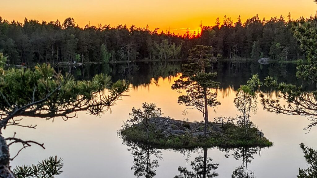
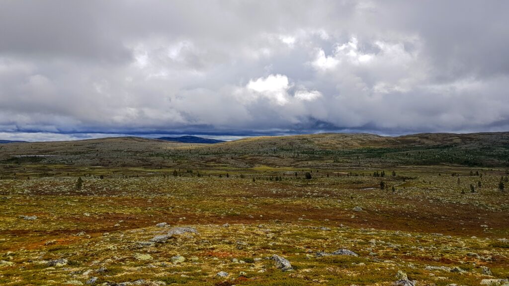
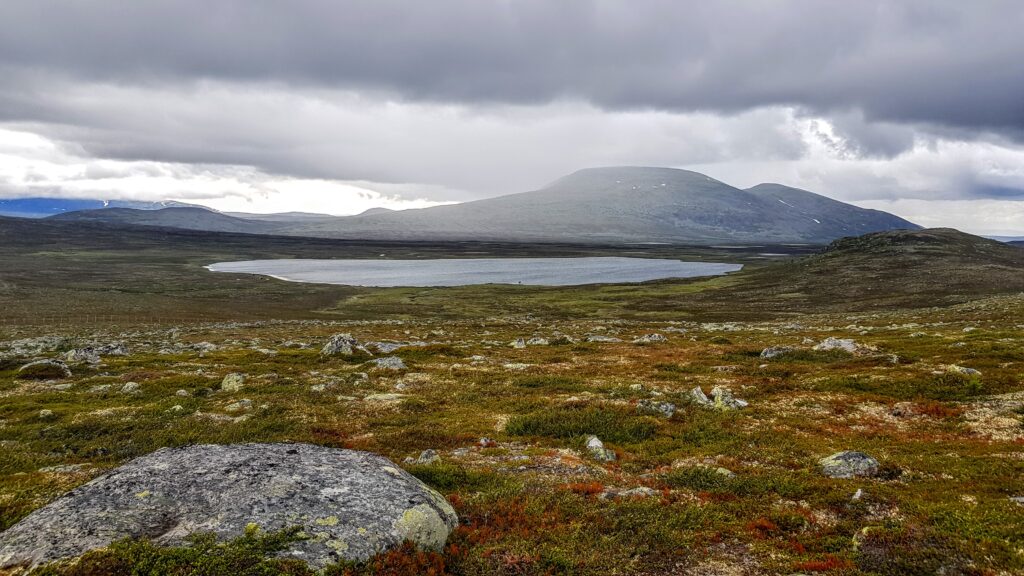
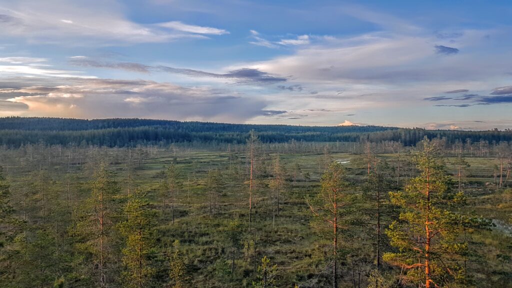
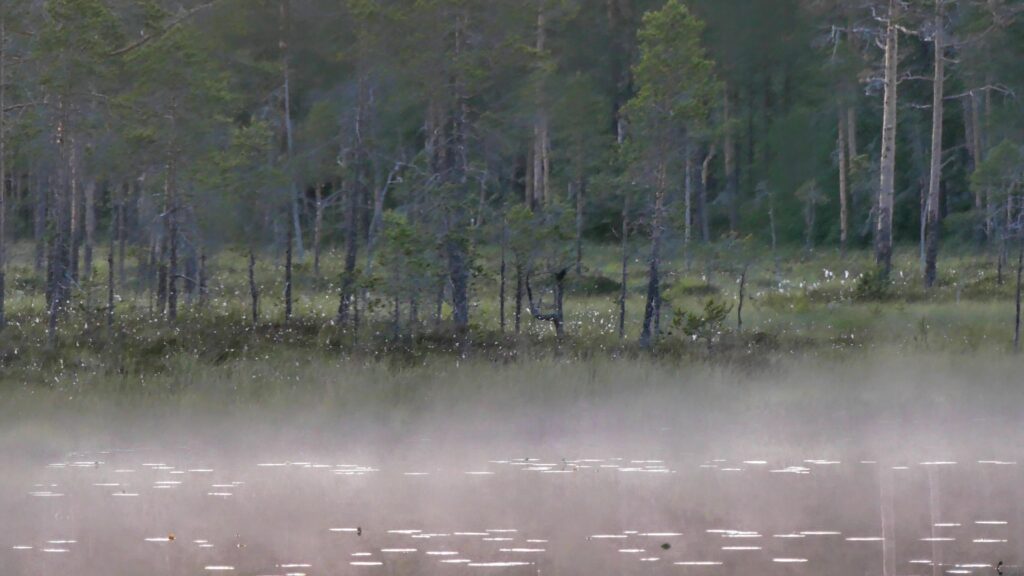
The second day we followed Storån which goes furthest along the national park border. This is a famous fishing water and we saw several large trout swimming in the river but did not manage to get the shy fish on film. After crossing the big river, we continued up to Hovden, Töfsingdalen’s highest point. Here you get an overview of the entire national park. Then we started working our way down to Töfsingån. The terrain we went through during the day was still decent, measured by Töfsingdalen standards, but that was what you managed to do in one day.

Next day the weather was significantly worse. It rained heavily for a large part of the day which made it difficult to film. We did not have time to explore the western and northern part of the national park as we had wanted and a fairly large part of the park had to be undocumented. The next day we had to return to Grövelsjön because we would also have time to visit Fulufjället and film there. A certain feeling of failure appeared when we walked back. Töfsingdalen is difficult to film and it did not feel like we had received good enough video to make a good film.

Once the tour was over and we were back home and started cutting the sequences and processing the memories from Töfsingdalen, a film began to emerge. Once the complete film was finished, the feeling of failure was gone. You can always wish that certain things could have been different, but think the film does a good job of conveying Töfsingdalen.

Hope you who watch appreciate the film. And if you do, please subscribe to the Youtube channel and feel free to comment, it is warmly appreciated and helps in future productions.

Fjällmossen

Among Kolmården’s forests is Fjällmossen nature reserve with its large bogs. Here you find hiking trails and nice shelters for those who want to explore and spend the night in the bog.

Watch the video for more info from Fjällmossen

Fjällmossen

This tour started at the shelters located at lake lilla Göljen. At the small lake there are two shelters and a fireplace. Firewood and water can be gathered a few hundred meters away. After putting away some of the packing in the shelter, the tour began with exploring the bog. Not long after, you come to a fire area where nature conservation burnings were carried out in 2010. The hike continued around the bog and lots of birds were spotted out on the bog.

Shelter at lilla Göljen

After spending most of the day at the bog, we returned to the shelter. It was a beautiful evening around the campfire and you slept well in the shelter. The next day, the car park is a short hike from lilla Göljen if you do not continue your hike along the Sörmlandsleden trail that pass through the area.

Tyresta National Park and Årsjön

Årsjön

Tyresta is a national park located just outside Stockholm. Here you can walk among old-growth forests and small lakes where Årsjön is perhaps the nicest of them all. There are plenty of hiking trails in the national park, but it is also possible to leave the trails if you want to feel more surrounded by the forest and the sounds of nature.

Watch the video if you want to see more from Tyresta and Årsjön.

This tour started at the main entrance in Tyresta village. Here is a large car park and an exhibition presenting all national parks in Sweden. The hike to Årsjön is about 3 km long and easy to hike. When you start approaching Årsjön, the path becomes narrower and there are not quite as many other visitors in the area anymore.

Årsjön is a beautiful long narrow lake nicely framed by the forest. Here you can only camp in a designated place, which means that you will have to share it with other visitors, but there is no major concern since the tenting allowed area is large. As it is not allowed to camp in other places around the lake, the lake retains its wilderness character. On the opposite side of the tent site there is a lookout point where you get a nice view of the lake and is worth a visit.

View over Årsjön

The rest of the evening is easily spent sitting by the rocks and looking out over the lake or around the campfire. Årsjön is probably one of the finest lakes in Tyresta National Park and well worth a visit but there is much more to explore here as well.

Winter Hiking in Fulufjället National Park

Winter in Fulufjället

Snowshoes is easy and not to expensive and increase the hiking season to be an all year round activity. Fulufjället is just as good during winter as it is during summer and a perfect destination for a winter hike. Below are two trips with snowshoe hiking in Fulufjället.

There are many cabins that one can stay in within the national park. Some need to be booked in advance while others are drop in. There are also cabins that are intended for resting and not to stay overnight other than in the case of an emergency. Look at Fulufjällets national parks website for more info regarding the available cabins and when they are open.

Hiking in Stendörren

Stendörren is a beautiful costal nature reserve close to Nyköping in Sweden. There are suspension bridges that connects the islands with the mainland and it is a accessible way to explore the archipelago. The area is very popular during the summer but we are here in March when winter is turning into spring. For more information about the tour watch the video.

Map over the route hiked.

Stendörren map

Hiking in the Grövelsjön Mountains

Grövelsjön is situated in Sweden right at the Norwegian boarder. This is where the Swedish mountain range starts and a popular starting point for hikers. The Grövelsjön mountains are not the highest or most dramatic but still visitors come back here year after year for many reasons.
This post is describing a 3 day tour into the Grövelsjön mountains that took place in July 2020.

Too much text? Just watch the video instead.

As most hikers we started this tour at the STF Grövelsjön mountain station. A little bit rain in the air but the mood is on top. The hike starts upwards and it doesn’t take long until the trees starts to get scarser and the views starts to appear. We follow the trail towards lake Hävlingen which leads us towards our desired direction. After a bit more than an hour one have come to the lakes of Fosksjöarna. The lakes are part of a smaller lake system and one can stop here and explore the surroundings and fish in the lakes and streams if one had the time. Here we deviated from the trail and started to walk off the beaten track towards Töfsingedalen national park.

Now we also pass Storväteshogna which is Dalarnas highest peak. The peak is a simple hike to the top and can be done as a day tour starting from Grövelsjön mountain station. Deciding to leave the hike to the top for another time and went on our planned tour.

After some time we started to move down into the valley towards Töfsingedalen. Now the notorious mosquitos started to appear as well. First only some but when we where down in the valley and followed the stream of Storån they were swarming around us. No chance to stop and rest now but tried to move on to not get eaten by the mosquitos.

Storån is a very popular fishing destination. The water is quoted and only few lucky fishermen get permission to fish here and only fly fishing is permitted.

When crossing the river we now enter Töfsingedalens national park. Töfsingedalen is really something different compared to other national parks. Here there is a modest sign that indicates that you entering a national park but nothing else. There is no other sign of human impact at all like already walked trails or similar. We didn’t know much about Töfsingedalen previously but especally two things stood out. First there were all the dead trees that still stands everywhere. Old silver likes trees where the tree has been twisted over time. And the other thing that stood out was the miserable terrain with boulder fields that stretch over large parts of the park.

These boulder fields showed to be more of a challenge than we expected. Since we already had been driving the whole day and walked around 13 km we started to be a bit tired. To enter the boulder fields was testing us a bit since we needed to stay fully focused on every step one take especially since the rocks were slippery from the rain. In the beginning there is no big problems. But the fields just go on and on and one realize that this will take much longer than expected and there is no indication that one will leave this rough terrain, quite the contradictory, it’s just keep on coming.

Inside Töfsingedalens National Park

On the way through the park one is passing some neat small lakes. And after some more time we finally we reach lake Töfsingen which is just outside the national park boarders. Now we had to round the lake and start head up towards the mountain again to find some place where we could set camp. Rounding the lake once again includes to move through some rough boulder fields. On the north side of the lake there where some huts and a few 100 meters north again another cabin where we stayed to make some dinner and dry up.

On the next day we where once again filled with optimism, forgotten everything from the tough day we had behind us. Slowly start to hike up towards the mountain again and for now happy to leave Töfsingedalen behind us. The temperature was around 10 degrees and no rain which was welcome. The views starts to appear once again and we could see the cabin of Storrödtjärn at the distance. We set course towards the north point of lake Hävlingen where we would cross to the other side and then start hike back towards Grövelsjön.

When heading down towards the lake the boulder fields started to appear again and, just as the previous day, our progress went much slower than anticipated. A bit later than expected we crossed to the west side of Hävlingen. Here we found that there was some cosy cabins one could use. Still had some kilometers to hike until we felt we would be ready for the day so we kept on moving. Since the next day would include a long drive we didn’t want to have a too long hike the last day. Ended up setting camp at a nice lake about 7 kilometers from Grövelsjön mountain station. The timing was perfect since there was some heavy rain coming in.

The next day there wasn’t too much to do other than take down camp and hike the last kilometers towards Grövelsjön. A bit sad that the trip was coming to an end but very happy for the time we had spent in the Grövelsjön mountains. When getting closer to the mountains station one could see how the trails are getting wider and starting to meet other hikers. Most of them where daytrippers with base at the Grövelsjön mountain station.
The trip had been a bit harder than we first had anticipated but those are often the most memorable.

Hamra National Park – 2 days in Hamra

Ormtjärn at Hamra

Hamra national park is one of Swedens smallest, and quite possibly, most anonymous parks in Sweden. The original park was founded 1909 together with 8 other parks. These were the first national parks ever founded in Europe. The original national park is tiny and can be seen in just a matter of hours. But 2011 the park was extended and became almost 50 times bigger even though it still one of Swedens smallest national parks. The park consists mainly of old forrest and wetlands.

Don’t want to read the full text? Just watch the video instead.

This trip started at the main entrance of the park. One thing that instantly stood out was how few visitors there was and how few cars where at the parking lot. A good start for any wilderness trip. Compared with other national parks like Fulufjället where one could expect a minor traffic chaos in the year of 2020 this was a refreshing turn to the better.

Hamra is part of one of the bear densest areas in Sweden but it is still quite rear to actually see a bear. But when hiking in the area the knowledge that a bear could be around next corner is ever present.

When leaving the main entrance one quickly got the feeling of being in the wild rather at a tourist attraction. Appart from a well marked trail there weren’t really any other signs of human impact. Since it mainly goes through wetlands it is nice to have the trail supported with boards to walk on. The mosquito situation was not great but nothing out of the ordinary. The little buggers where there, as one could expect in the wetlands, but not in a way that made the trip unpleasant.

After about 30 minutes down the Hamra trail you find yourself in an area affected by bushfires. I later found out that this area had deliberately been put on fire to attract new animals and growth. After the fire many new insects arrive and the woodpeckers comes after.

At Ormtjärn there is a shelter that can be used with a fireplace provided. It is only at these designated fireplaces one is allowed to start a fire and firewood is provided. One thing that surprised me about Hamra is the amount of cloudberries. These berries are very popular for picking and good spots are hard to find. But here in Hamra there where cloudberries everywhere but they weren’t quite ripe yet for another week or two. Cloudberries, along with most other berries too, can be a bit seasonal and can shift from year to year but guessing 2020 was a particularly good year.

It seemed as i had Hamra national park all by my self and i continued deeper into the park. Nice wether, views and lots of birds made the whole hike very enjoyable. And still surprised about the absence of other people. In fact i didn’t meet another person on the two days apart from where i started and finished. Instead it was mainly the little birds that kept me company.

I went to check the other shelter that exist in the park near one of the other entrance to the park. Since it was empty and i felt that i most likely would be there by myself i decided to set up camp there. This is the second spot in the park, apart from Ormtjärn, where you are allowed to start a fire which can be nice. Again firewood is provided.

When done setting up camp it was time for some dinner and relax. But when it got towards dusk it was time to get out on an evening hike which followed the loop trail “långa myrslingan”. This part was for me the most enjoyable on the trip where you got the best views over the wetlands. Continuously looking to see if you can get a glimpse of a bear but without luck.

Along the trail “stora myrslingan” there is a lookout tower. A perfect place to get the full overview and enjoying the sunset.

After the evening hike it was time to get back to camp and see the last rays of sun disappear. This was during July and the days are long with short nights. I wasn’t expecting it to be as cold as it became during the night. I wasn’t expecting the temperature to go down as much as to 4 degrees and i got a bit colder than i expected during the night. But since the nights are short i knew that the sun was on its way to help out soon again.

The next morning i woke up warm and to nice weather again. Put down the camp and started to hike back to where i started. It was almost the same way as walked the previously day. Hamra continued to show up it self from its best side and enjoyed all the little birds that one saw along the wetlands.

When i got back to the main entrance where i had started the day before i took a tour into the original national park from 1909. Now there were some other visitors around visiting the parks for a day trip. The original part of the park is made up of forrest and it was protected to save a part of forrest that had not been affected by humans.

On this trip i had seen about half of the Hamra national park. The part that i had missed out on is the eastern part which follows the small river of Svartån. So next visit in the park it will be from the eastern part and follow the stream towards the wetlands.

Sörmlandsleden Stage 10

Stage 10 starts in Tvetaberg and ends in Järna. The route is 12 km long and on this tour we ended a bit short of Järna, at Kallfors to be more precise. The first km of the stage is not too interesting. The route is along a road and there is quite much houses along the way. But eventully you reach the forrest and get both views and lakes.

We made camp at Vaskasjöarna at a really nice spot. The rest of the day we relaxed and took care of the fire which needed much attention since it had been raining for a couple of days. The hunting season had started and we heard rifle shoots going of a couple of times.

More info about the trip is best seen on Youtube:

Sörmlandsleden Stage 11 & 12

Sörmlandsleden is one of Swedens longest walking trail. The trail starts at the subway station in Björkhagen, Stockholm, and then make a loop in the Swedish county of Södermanland. The main loop is around 620 km long but with alternative and connecting routes the entire trail is around 1000 km.
Sörmlandsleden is a popular choice for day trips or shorter overnight trips. It is an easy way to explore the nature around Stockholm. The trail is usually easy accessible and it is well marked so walking and camping along the trail is quite easy.

This tour was starting at stage 12 and walking towards stage 11. More information about the trip is provided in the video below.